Viadena GeoTech · Division
IN DEVELOPMENTAI-driven subsurface imaging.
Viadena GeoTech is our specialist division for the energy sector, applying advanced mathematical and computational techniques to transform seismic imaging. It is a separate track from the road and parking platform, built by the same engineering organization.
01 · See it work
One sweep. Three kilometers into focus.
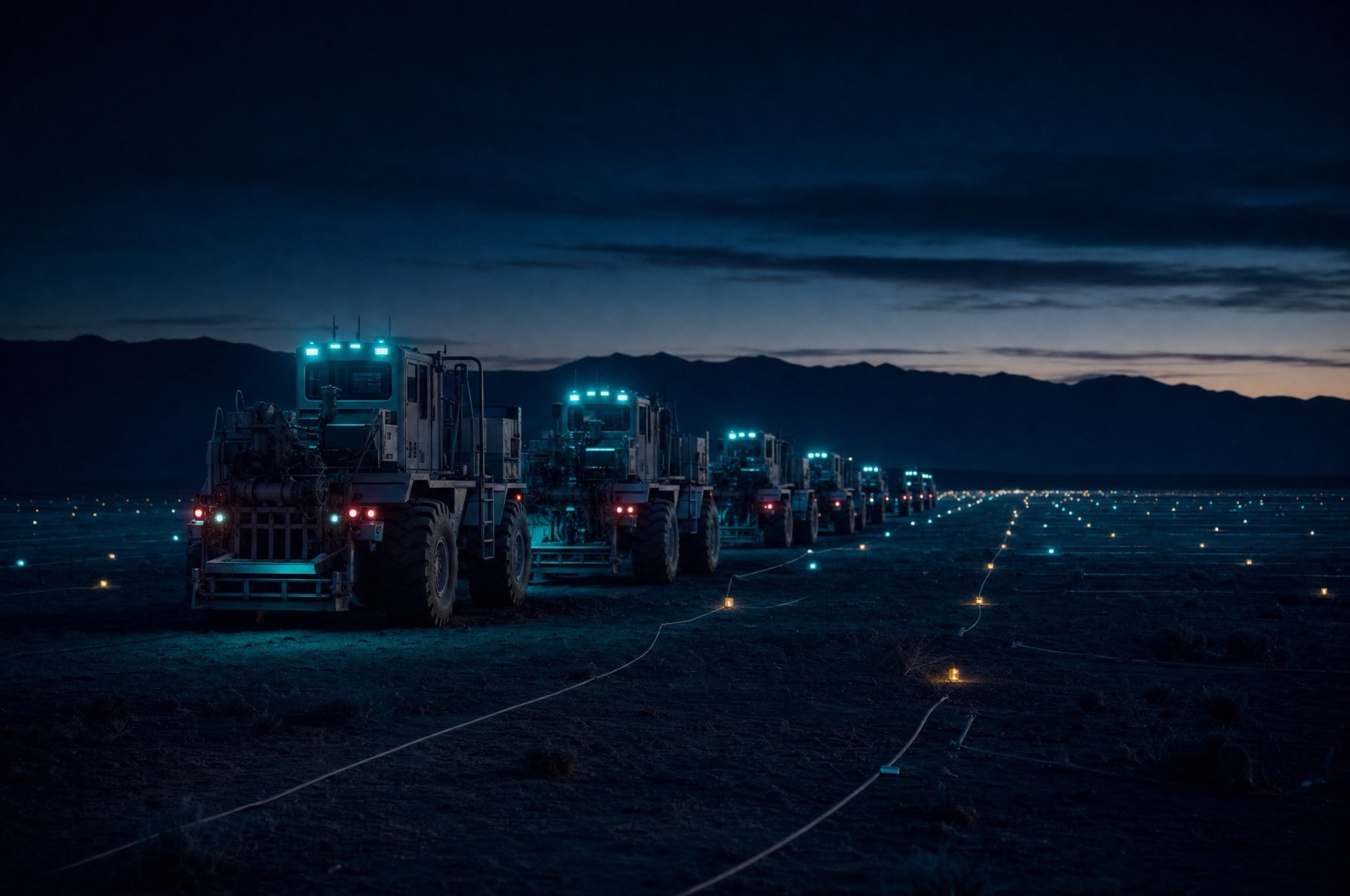
A vibroseis sweep goes down, the reflected wavefield comes back, and full-waveform inversion pulls three kilometers of rock into focus, band by band. This is the loop GeoTech runs on the bench.
MODEL UPDATED · BLOCK K-7
FWI converged, misfit 1.000 to 0.061 in 24 iterations. Closure at 2,340 m TVD, queued for well tie review.
Resolution
12 m
Final misfit
0.061
02 · Capabilities
From raw wavefields to resource decisions.
Four connected disciplines, built as one pipeline: what the sensors record, GeoTech turns into a quantitative picture of the subsurface.
AI-driven subsurface imaging
Deep learning reconstructs subsurface structure from sparse seismic datasets, recovering detail that conventional processing leaves behind.
Seismic data processing
Advanced pipelines clean, migrate and interpret raw seismic wavefields at scale, from field records to interpretable images.
Geophysical inversion
Full-waveform inversion derives rock properties from surface measurements, turning wave physics into quantitative models.
Geological modelling
3D stratigraphic models map formations and structure, supporting resource decisions with a coherent picture of the subsurface.
03 · Status
In final development.
GeoTech is currently undergoing validation with energy sector partners. If subsurface imaging is on your roadmap, we are open to early conversations.